
Data Providers | Agencies
This page provides useful links for data providers (agencies) to submit the log files of their GNSS stations and to download the GLASS software package to disseminate their GNSS data.
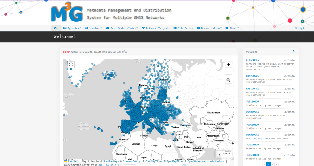
M3G Portal – M3G stands for “Metadata Management and distribution system for Multiple GNSS Networks”. M3G allows to upload, validate, and distribute GNSS station metadata such as IGS-style site logs, information about local networks, DOIs, nominal data provision, licenses on the data, etc… It has been primarily developed to support the EPOS, EPN, and EPN densification GNSS networks. M3G is developed and maintained by the Royal Observatory of Belgium (ROB).
Metadata – Station metadata is the chronological description of the equipment at a GNSS station. Incorrect station metadata can cause errors in the computed coordinate positions. To avoid such errors, it is important that the researcher who analyses the GNSS data from the station has access to the full set of station metadata. Each data supplier must make sure that the metadata of its GNSS stations are properly maintained. The TCS GNSS developed a dedicated tool (M3G) for this.
EPOS Data Supplier Letter – It is a major step towards the implementation of EPOS’s legal project. The signed letter is a protocol stating that the agency owning the data agrees to make its GNSS data and metadata (site log files) available to EPOS and that these data can be disseminated under the Creative Commons 4.0 CC:BY license. The latter ensures that the data will be open access, in line with the guidelines of the European commission. Foreseeing all legal aspects, once signed, this EPOS Supplier Letter guarantees that the name of the data supplier will be attached to the data, giving proper credit to the data source. Furthermore, one of the major benefits is that EPOS will validate the metadata and the GNSS data and provide feedback and the data supplier can install GLASS or get a license to send the data to an existing GLASS node from which the data will made it accessible for download from the EPOS GNSS data gateway. Last, but not least, it will be possible to get regular updates on who has been downloading the data.
Join us by signing the supplier letter @ https://gnss-metadata.eu/Guidelines/EPOS-GNSS_Supplier_Letter.docx.
Procedure for including GNSS stations in EPOS @ https://gnss-metadata.eu/Guidelines/EPOS-GNSS_Procedure_for_EPOS_Stations.pdf.
More information on using M3G @ https://gnss-metadata.eu/.