
Researchers | End user
This page provides links to GNSS data and products for the people with their Solid Earth Science research. In addition, a short description of all the products is provided.
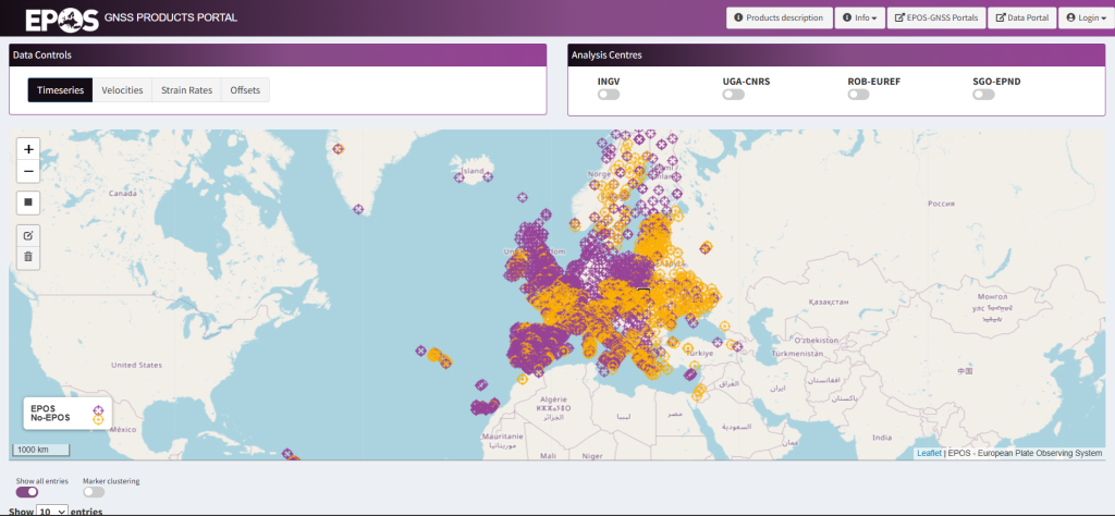
The portal enables access to the GNSS observations and products. Graphical interfaces enable station visualization and multiple queries over stations and associated metadata allowing users to retrieve the desired information.
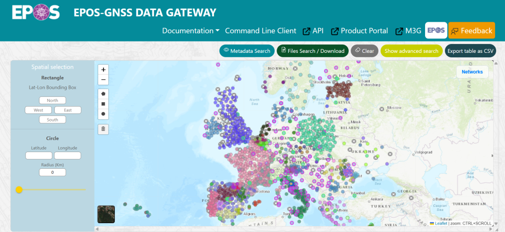
This is an e-infrastructure to store and disseminate GNSS data and products from existing Research Infrastructures. The portal stores EPOS stations metadata and enables access to the GNSS observations and products.
EPOS official analysis/combination centres
LTK (Department of Geodesy, Remote Sensing and Land Offices – Government Office of the Capital City Budapest); INGV (Istituto Nazionale di Geofisica e Vulcanologia – Centro Nazionale di Terremoti, Rome, Italy); ROB-EUREF (Royal Observatory of Belgium, Belgium); UGA-CNRS (Université Grenoble Alpes, France); WUT-EUREF (Department of Geodesy and Geodetic Astronomy, Warsaw University of Technology, Poland); LM (Lantmäteriet, Sweden).
Products provided by each centre
LTK / LTK-EUREF
- Daily Combined Time Series – These are based on the daily time series produced by INGV and UGA-CNRS. The combination is performed using the CATREF software. The reference frame is IGb08
- Weekly Combined Time Series – These are based on the weekly EUREF time series. is performed using the CATREF software. The reference frame is IGb08
- EPOS Reference Positions + Velocities – These are based on the daily INGV/UGA-CNRS time series. Estimation is performed using the CATREF software. The reference frame is IGb08
- Densification Reference positions + velocities – These are based on the weekly EUREF time series + EPOS + velocities of densified (non-EPOS) network. Estimation is performed using the CATREF software. The reference frame is IGb08
INGV
- Daily Coordinates and Time Series – These are computed using the GIPSY/Oasis software. The time series are given in the ITRF2008 reference frame or relative to stable Europe.
- Velocities – The MIDAS software was used to estimate velocities from the daily time series.
ROB-EUREF
- Daily and Weekly Time Series – These are the cleaned EPN (EUREF Permanent Network) daily time series obtained from on the combination of the WUT-EUREF daily combined EPN positions using CATREF software. The reference frame is IGb14.
- Reference positions + velocities (reference frame) – These are estimated using CATREF software based on the WUT-EUREF daily combined EPN positions. The reference frame is IGb14.
UGA-CNRS
- Daily Coordinates and Time Series – These are computed using GAMIT/GLOBK, combined with PYACS and given in the IGb08 reference frame.
- Velocities – The MIDAS software was used to estimate velocities from the daily time series.
WUT-EUREF
- Daily and Weekly Coordinates – These are combined coordinate solutions based on the EPN analysis centres solutions.
LM
- Strain Rates